Overview
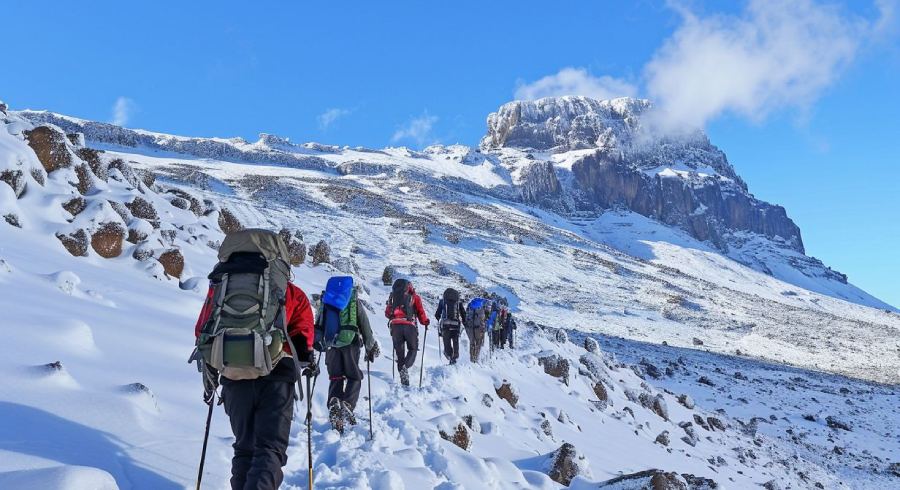
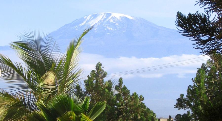
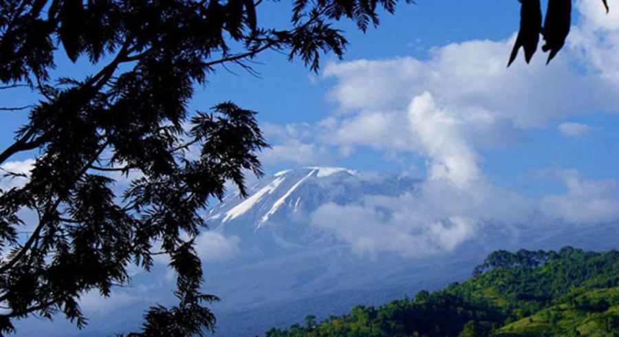
The Shira Route is one of the older and less frequented routes on Mount Kilimanjaro, Tanzania’s iconic peak. It offers a challenging yet rewarding climb with stunning scenery and diverse landscapes. This article will provide a comprehensive overview of the Shira Route, including its views, elevation gain, distance, pros and cons, success rate, map, difficulty level, and interesting facts.
Shira Route Views:
The Shira Route is known for its breathtaking views, particularly across the vast Shira Plateau, one of the largest high-altitude plateaus in the world. Hikers can expect to see dramatic landscapes, including volcanic cones, glaciers, and lush valleys. The route also offers excellent views of Kibo, the summit crater of Kilimanjaro.
Shira Route Map:
The Shira Route begins at Shira Gate, located near the Shira Ridge. Hikers then ascend to Simba Camp, passing through the Shira Plateau, characterized by volcanic cones, like Shira Caldera. From Shira 2 Camp, the route merges with the Lemosho Route and continues towards Lava Tower, Barranco Camp, Karanga Camp, and Barafu Camp, the base camp for the summit push. The descent is via Mweka Camp to Mweka Gate.